
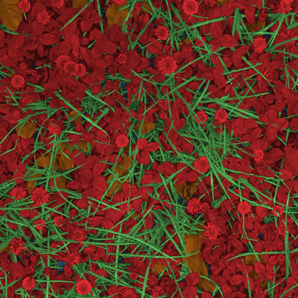
Grass, clover and weeds separated pixel by pixel in a dense canopy, so legume content can be measured instead of estimated.

Agriculture
Semantic segmentation
Biomass
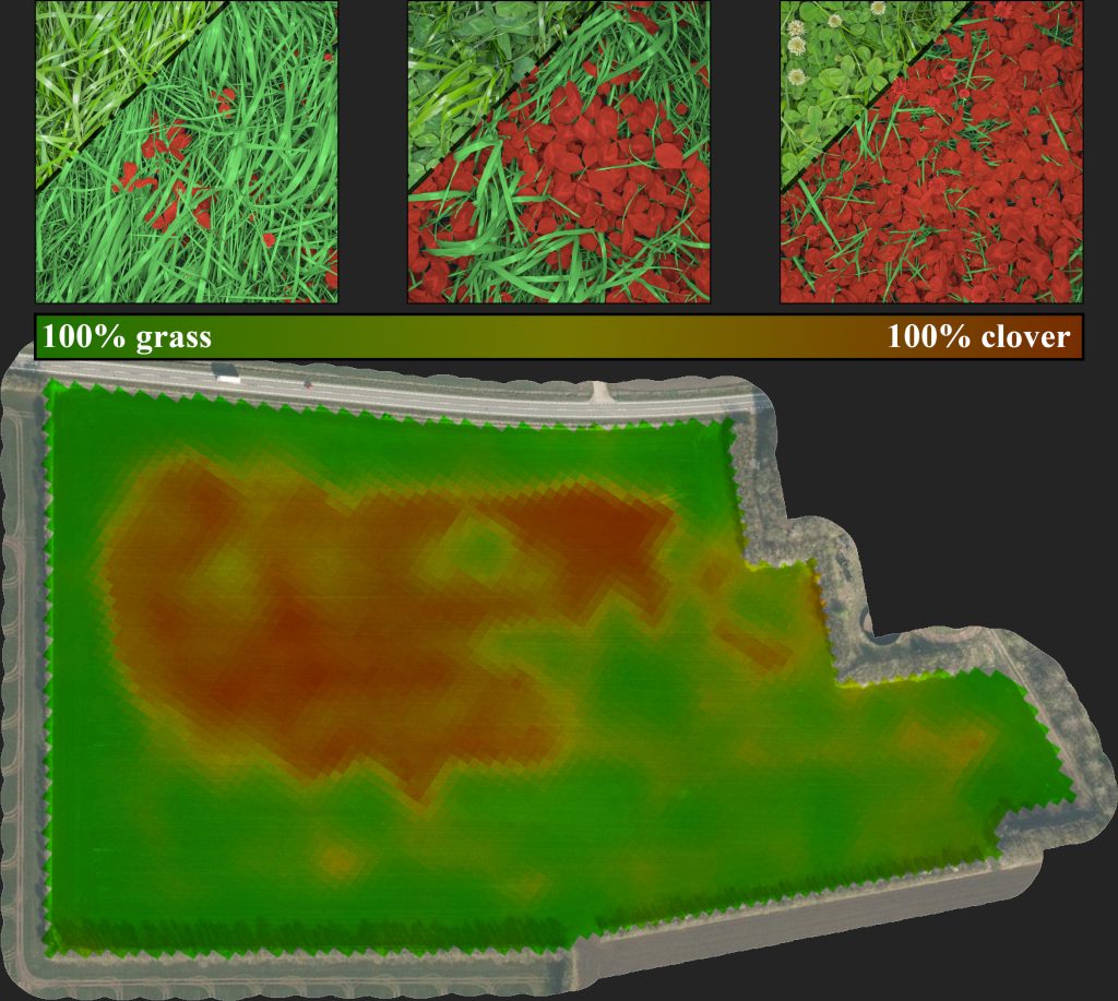
Precision agriculture in mixed crops is often conditional on the local species competition in the field. With camera technology and artificial intelligence, the otherwise unfeasible task of monitoring the local species distribution can be automated with excellence and scale.
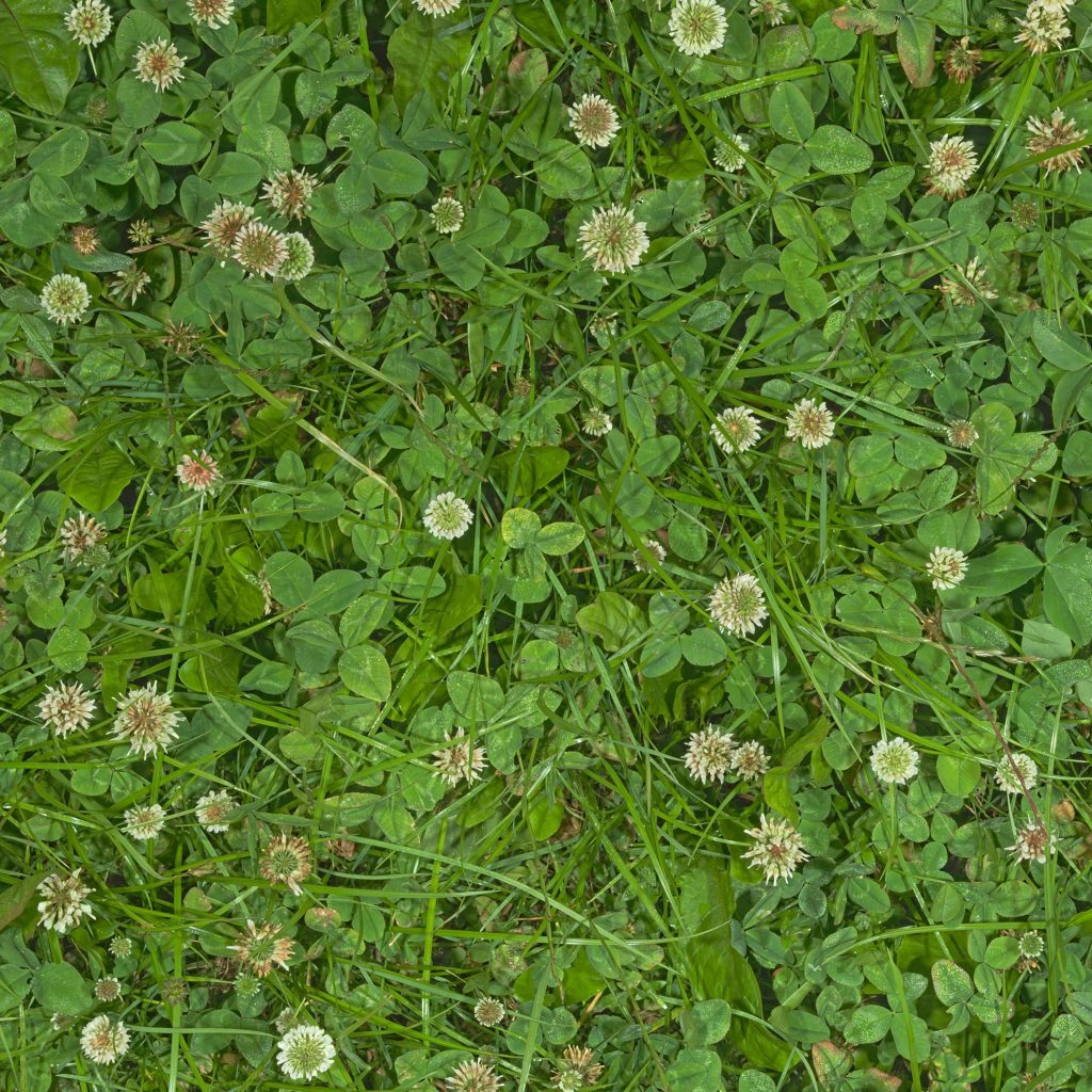
Demonstrated in the images is the case of legume content prediction in annual forage mixtures of rye grass and clovers. Here, the legume content is a valuable metric for predicting the crop quality as well as optimizing the fertilization strategies.
More work
See the other cases, or read about the systems behind them.