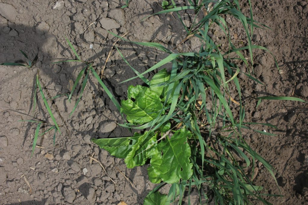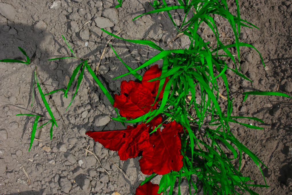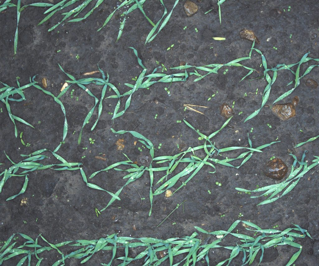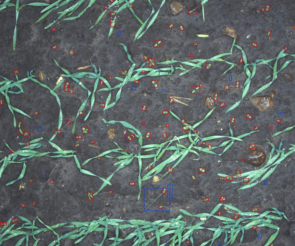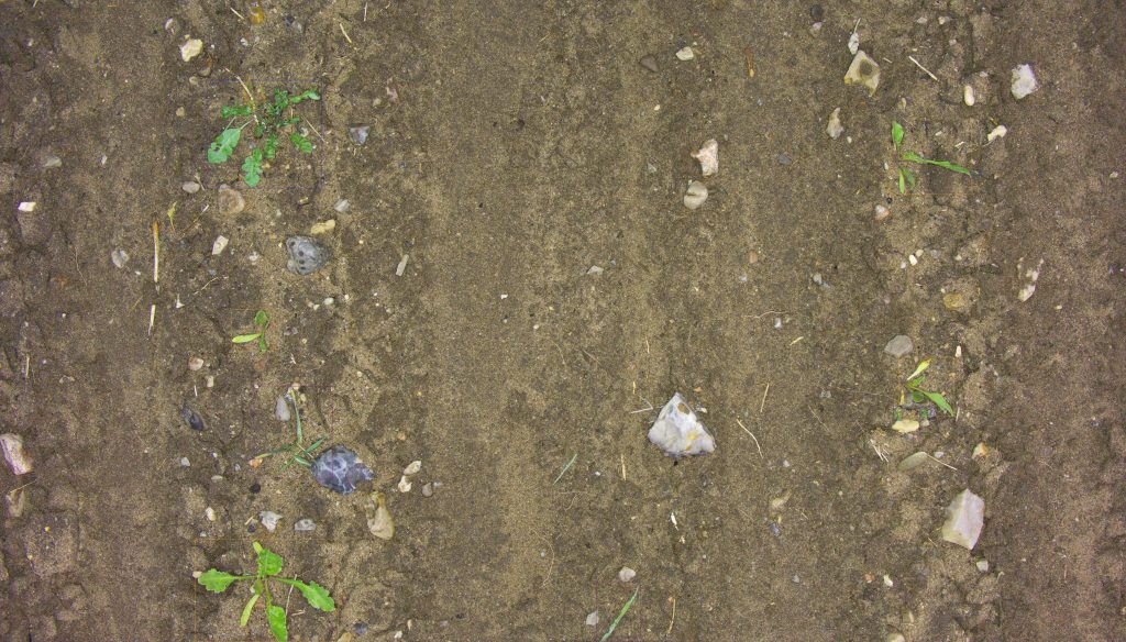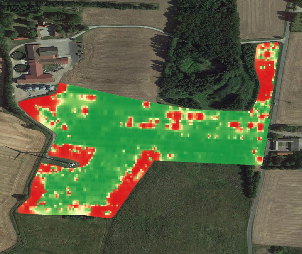
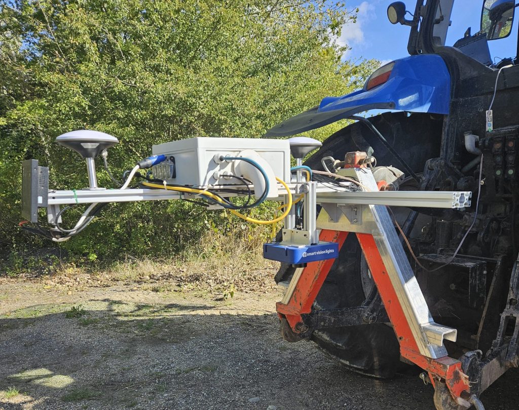
The AI Enabled camera module is designed to enable high precision plant monitoring, including detecting and counting weeds, determine crop health, map clover-grass ratios, and more. It uses advanced AI models to analyse images in real-time, providing detailed insights into crop health, growth, and development, but also for potential integration in your tools.
Key features
01
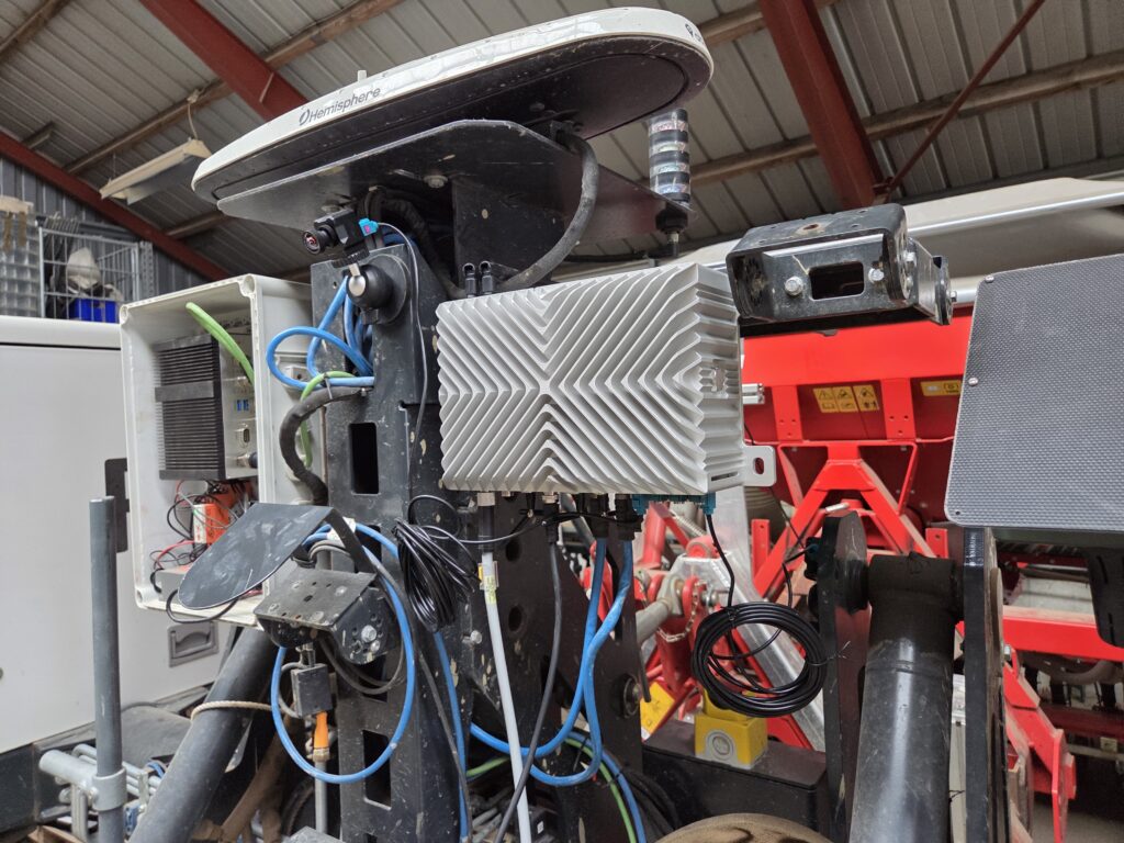
AI-Powered Processor
The camera module is equipped with a sophisticated AI-powered processor that detects variations in crop colour, texture, and growth patterns.
02
Real-Time Crop Analysis
The module provides instant insights into crop health, growth, and development, allowing for timely interventions.
03
Powerful Lighting
The module is equipped with high-intensity lighting, ensuring consistent image quality and enabling operation in under low-light conditions, without relying on sunlight.
04
RTK GPS
The module features a built-in RTK GPS system, enabling it to accurately map and document its detection results, including the location and extent of any issues.
05
5G Connectivity
The module includes a 5G modem, allowing for data upload to the cloud for computing and analysis, as well as integration with farm management systems for real-time monitoring and decision-making.
06
Precision Spraying
The module enables targeted spraying, reducing overspray and waste by up to 90%.