
Cameras and AI map weeds accurately enough to act only where action is needed — less spray, better economics, the same yield.
Agriculture
Detection
Prescription maps
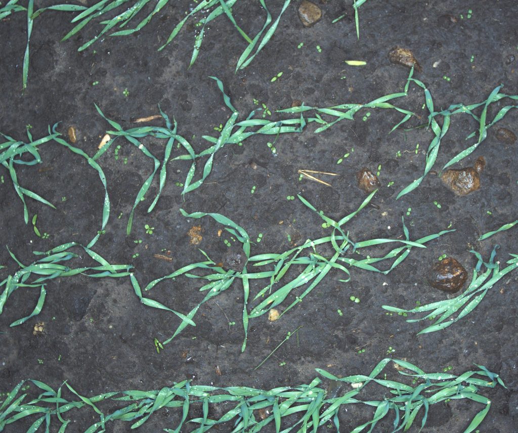
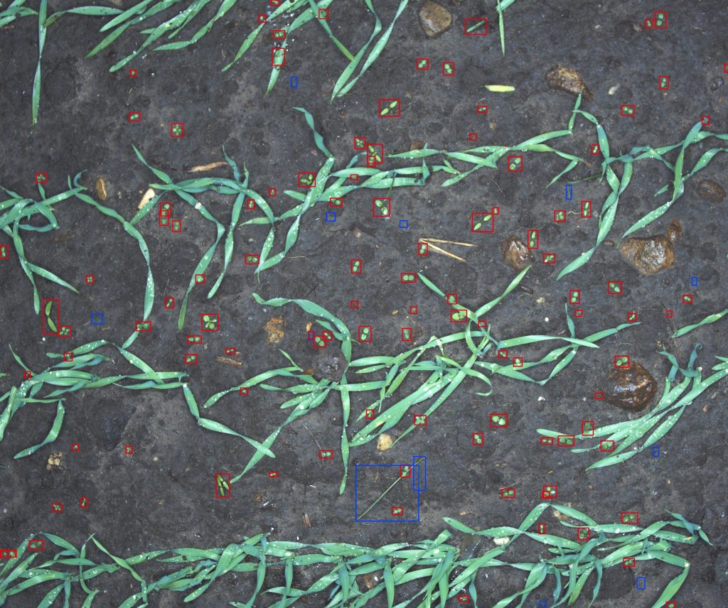
With camera technology and the latest development in artificial intelligence and big data, we can accurately map weeds in the field.
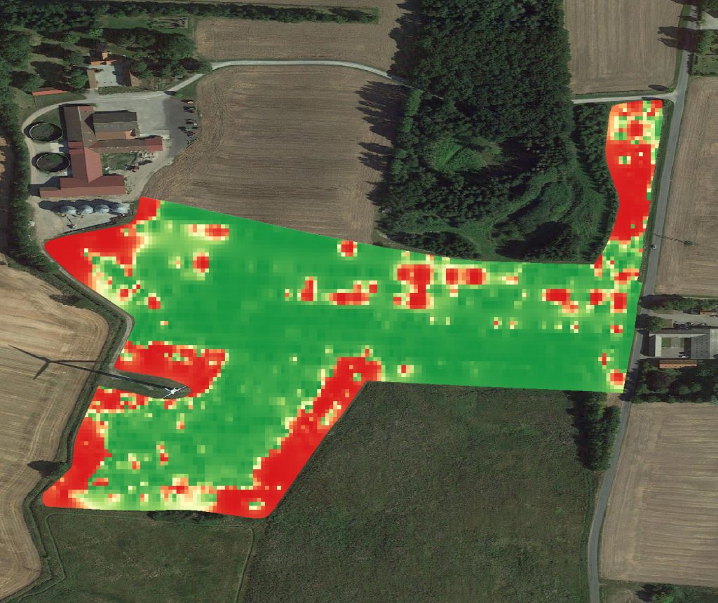
With weed maps, it is possible to address one of the key elements of precision agriculture — to only act where necessary and thus reduce the environmental impact and benefit the farmer’s economy.
The automated mapping of weeds works both for grasses in high-value crops, as well as mono and dicotyledonous weeds in cereal.
More work
See the other cases, or read about the systems behind them.